The sun returns to familiar parts of the horizon, while a settlement's posts, mounds and cliffs remain in place. That relationship gives archaeologists something to investigate. It does not automatically reveal what an earlier community intended. Ancient astronomy in the Mississippi valley is a subject of measured alignments, material remains and cultural meaning, with a different kind of evidence needed for each.
Reading a sky within a culture
Wikipedia's account of archaeoastronomy describes the study of how past societies understood and used the sky and what those phenomena meant in their cultures. It draws on archaeology, astronomy, history and anthropology. The subject is broader than looking for a building aimed toward sunrise: a direction can be measured, but a purpose needs cultural context.
The account discusses different approaches, including statistical investigation of alignments and interpretation using historical and ethnographic evidence. It warns that the latter can be weak statistically and that measurements alone can miss a social practice's meaning. A strong interpretation needs to make sense in both archaeology and astronomy. An attractive line drawn between a stone and the horizon is only the beginning of that work.
That caution does not diminish past skywatching. It respects the difference between demonstrating a pattern and explaining why a community valued it. The sky through the year gives the astronomical background to equinoxes and solstices. Those terms describe seasonal positions and events; their cultural significance is a further question.
Posts beside Monks Mound
Wikipedia's Cahokia Woodhenge article describes a sequence of large timber circles at the Mississippian settlement near Collinsville, Illinois. Postholes provided archaeological evidence for the arrangement. The account says archaeologists interpret the circles as a solar calendar that could mark equinox and solstice sunrises and sunsets, in connection with agricultural timing and religious observances.
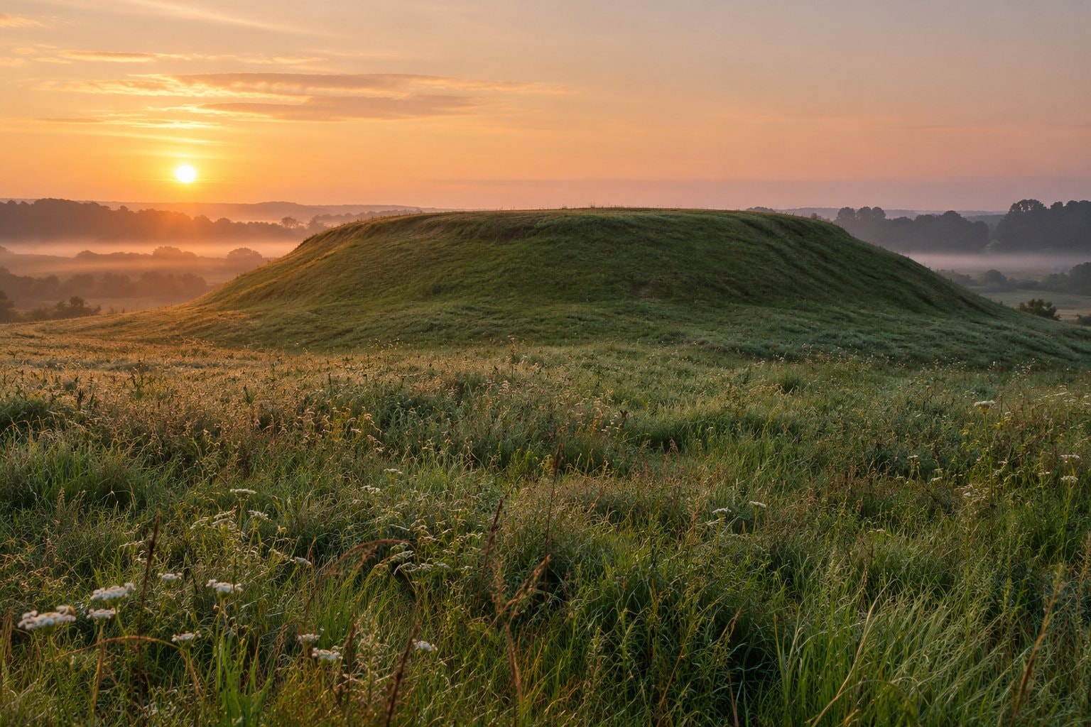
At the equinoxes, the article describes the sun rising due east of the circle and appearing from its center to emerge in front of Monks Mound. That joins an observed direction to a significant part of the settlement. The mound is not merely a distant shape at the edge of the view; it belongs to the relationship the interpretation is trying to explain.
The article also describes a winter-solstice sunrise alignment with a mound across the grand plaza. It discusses possible religious and ritual meaning, including a cross-in-circle motif on ceremonial vessels. Such an account has several layers: surviving post positions, the geometry of sunrise, and a proposed relationship with symbols and observances. Keep those layers distinct even when they form a persuasive interpretation together.
Cahokia was a settlement with homes, public spaces and earthworks, not just a device for keeping time. The Mississippian feature considers that wider setting. Its farming, social organization and shared symbols give the astronomical discussion a human context without supplying a single explanation for every structure.
The more tentative Fountain Bluff account
Wikipedia's Fountain Bluff article says it is believed that some carvings relate to ceremonies around the spring equinox. It also describes a petroglyph site in Trestle Hollow as a solstitial observatory. These are the article's attributed associations, rather than a claim that the purpose of every carving has been established.
The distinction matters because a carved design, a rock shelter and a seasonal sunrise can be interpreted together without each answering the same question. A possible ceremonial association is not a dated observation of an ancient ceremony. A term such as solstitial observatory conveys an interpretation of a place; it should not be expanded into an invented account of how its users watched the sun.
The article states that the petroglyph sites are on private land and not open to the public. Their significance does not create a right of access. The Fountain Bluff feature discusses the hill's geology, plant communities and human history without giving access directions to the carvings.
A regional rock-art context
Wikipedia's Piney Creek Ravine account records Native American petroglyphs in the southern Illinois ravine alongside later graffiti. Wikipedia's Piasa account discusses a Native American mural on Mississippi bluffs at Alton. Carving and painting belong to a wider regional history of images on natural rock surfaces, but the existence of that tradition does not make every image an astronomical marker.
A careful reading begins with what survives, asks what was measured, and then examines the proposed cultural explanation. It leaves uncertain meanings uncertain. The Mississippi valley offers strong reasons to study the sky in relation to the ground, while archaeoastronomy supplies a reason to avoid claiming more than the evidence can carry.